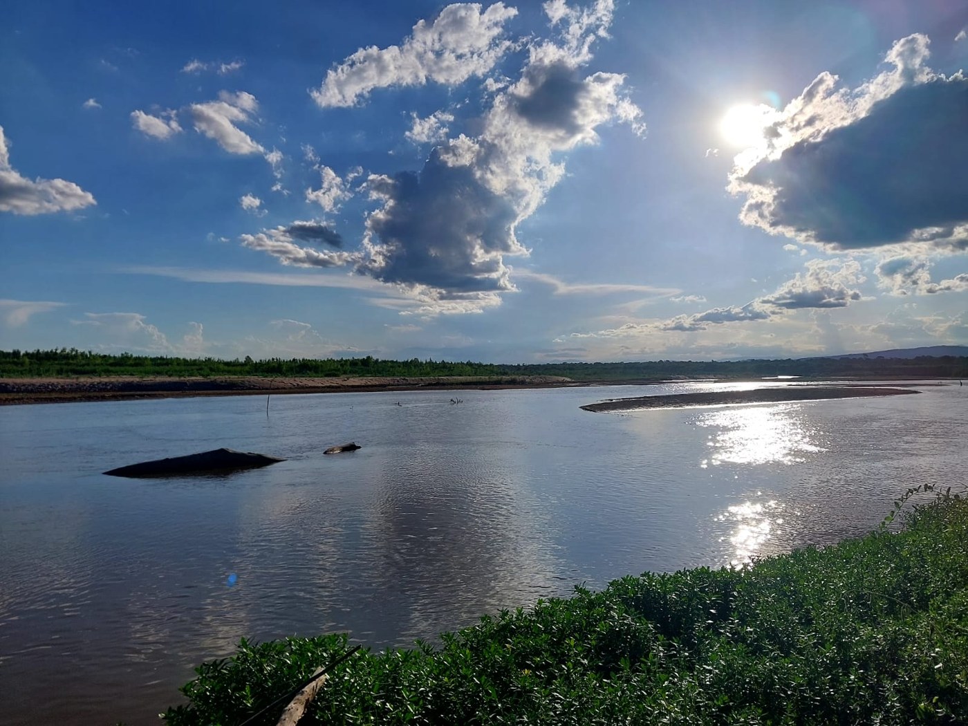

A dry landscape can suggest that water will play only a minor role in a journey. In Northwest Argentina, that impression is not enough to understand a gorge, channel, or lagoon. Aridity describes general conditions, while a storm is a particular event. Limited rainfall over a year can coexist with episodes in which water rapidly changes both movement through the area and the appearance of the ground.
Climate, event, and catchment
Rain is not distributed uniformly across the region. The Puna, valleys, and humid slopes differ substantially; even different parts of the Puna receive different amounts. Official environmental descriptions identify a summer concentration of precipitation across much of the high plateau. This provides planning context, but it does not replace a forecast for the dates and locations of the actual route.
When water reaches the ground, some may infiltrate while some flows across the surface. The balance depends on factors including terrain, cover, and rainfall intensity. In dry, rocky places, intense precipitation can generate rapid runoff. The US Geological Survey emphasizes that flash floods can occur in normally dry channels, a useful correction to the idea that the absence of water means the absence of a river.
A catchment is larger than the point where you are standing. A channel receives water from slopes and tributaries that may be out of sight. Flow can therefore rise even when rain is not falling at the observation point. The relevant question is not only whether it is raining here, but what is happening upstream and what instructions authorities have issued for that section.
Changes at different speeds
Water can move sediment and alter edges, grooves, and deposits. After rain, darker ground or a new thread of water provides information, but it is not enough to establish depth or stability. It cannot determine when a road will be passable either. A photograph taken before the storm is no longer a dependable description of current access conditions.
Changes in a lagoon can integrate water contributions from a catchment over a longer period. Pozuelos illustrates why timescales should be separated: its extent and habitats vary with available water, whereas a channel flood can respond much faster. Water bodies across the northwest do not all change at the same pace or have identical relationships with rivers, evaporation, and rainfall.
Interpreting without testing a crossing
To observe a landscape after a storm, use authorized, stable places. Do not enter a channel for a comparison photograph or cross water because another vehicle did. Consult National Meteorological Service alerts and reports from the relevant road authorities; a regional forecast and confirmation that a particular road is passable serve different purposes.
Adapting the itinerary can be straightforward: move a walk to another day, spend time in a town, or wait for an update before departure. Preserve dates and conditions in your notes. The record then explains one moment in the landscape without turning it into a permanent characteristic. Understanding water means allowing for both slow processes and events that can interrupt a plan within a few hours, even when the surrounding country has looked dry throughout the journey.