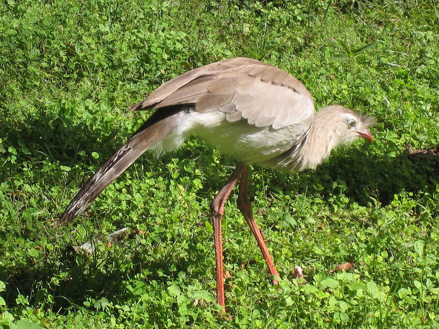

El Rey National Park brings together Yungas and Dry Chaco environments within a landscape enclosed by mountain ridges. This combination encourages visitors to see vegetation as a transition rather than forest that looks identical everywhere. Traces of former ranching activity also survive, allowing a visit to connect two questions: how does the forest change with the terrain, and how did a productive property change after becoming a protected area? Neither question requires walking every trail, but both benefit from choosing an outing with enough time for careful observation.
Recognizing forest structure
The official park profile describes a sequence of environments associated with elevation. Lower areas contain elements of Chaco hill forest, while other levels support different mountain forest formations. For a first visit, memorizing a long species list may be less useful than recognizing structural differences. Compare tree density, the continuity of shade, and the presence of plants growing on trunks or branches. A field guide or available interpretation can then help attach names to specific observations, instead of leaving you with labels that have no connection to what you actually noticed.
A lake with a working history
Laguna Los Patitos offers a particularly interesting view of the site's history. Park information explains that this artificial body of water served cattle before becoming useful to local wildlife. This complicates an overly simple opposition between nature and human construction. A modified place can acquire ecological functions, although understanding them does not mean that every intervention is beneficial. From an authorized position, watch how birds use the water, shoreline, and nearby vegetation. Avoid approaching merely to make them move or to create a more active scene for a photograph.
The ranch within the present landscape
The Bañadero de las Vacas provides different evidence of the ranching past. Its value does not depend on looking like a monumental building: it invites questions about tasks, labor organization, and animal management. An outing focused on these traces can be combined with observing areas where vegetation is recovering from earlier uses. The park then becomes more than a landscape imagined to have always looked the same. Historical explanations should come from signs or park information rather than invented purposes assigned to every remnant encountered during a walk.
Different outings, different demands
Choosing a trail requires attention to its actual length and water crossings. Waterfall and lake names may suggest equivalent outings, but official options have very different demands. Confirm which routes are open and how registration works before deciding. A long hike is not necessary to observe environmental transitions, and a track that accommodates a particular kind of vehicle is not automatically suitable or authorized for every vehicle. Rain can change both the general approach and conditions on a section inside the park, so previous experience is not a substitute for current information.
Arranging supplies before entry
El Rey also requires planning supplies. Its services information states that drinking water and food sales are not provided inside the park; confirm those conditions and bring what you need. Communication arrangements should be checked too, without relying on continuous mobile coverage. Resolving these details leaves time for what makes the visit distinctive: connecting water, changes in forest structure, and the visible history of ranching. An outing concentrated on those relationships can reveal more than a day devoted solely to reaching the most distant waterfall on the map.