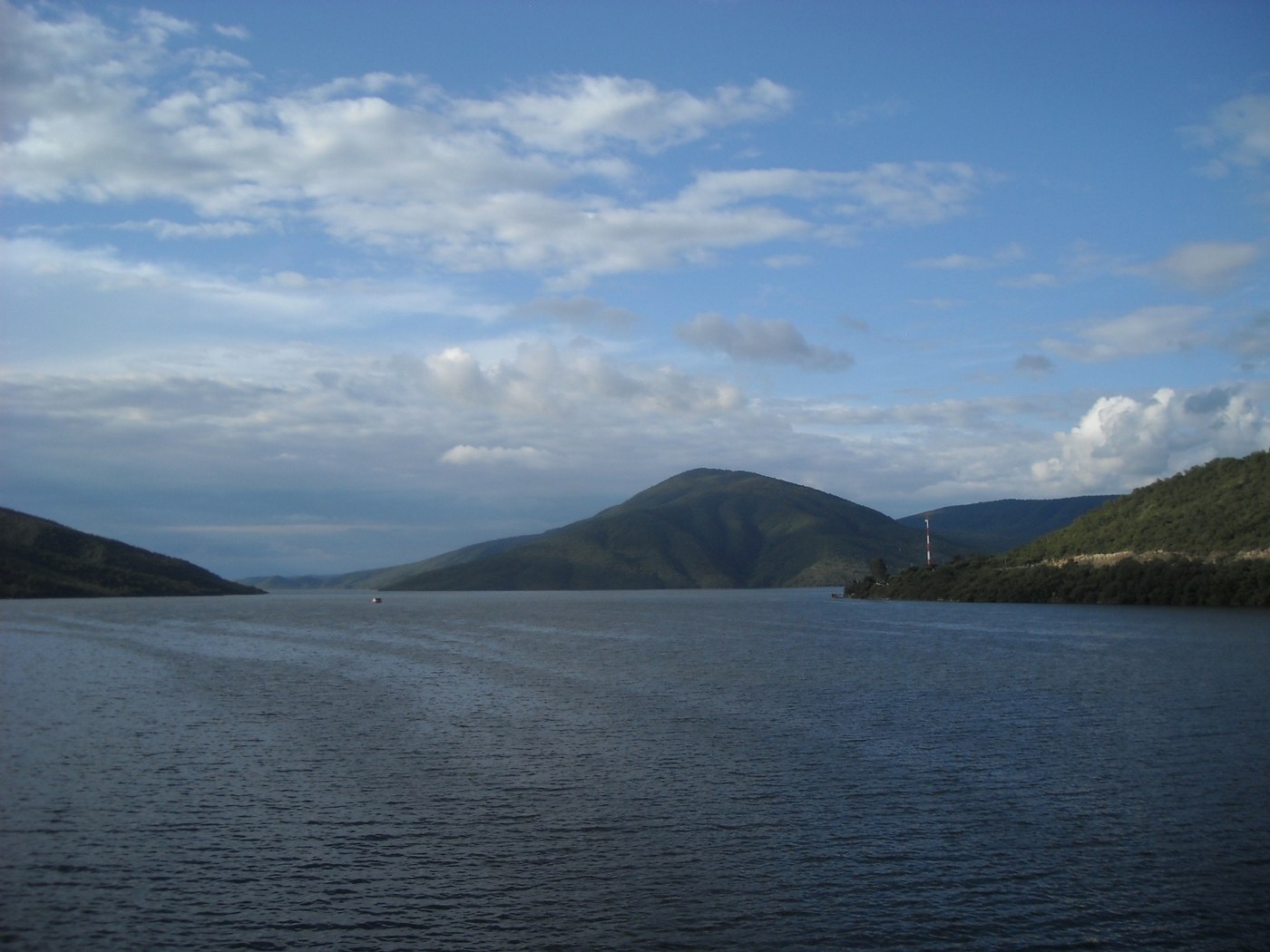

Cabra Corral changes the scale of a journey through the hills: water takes over the foreground, while the shoreline divides into arms, inlets, and slopes. Near Coronel Moldes in Salta, the reservoir invites a day beside the water without treating it as a natural lake or one continuous swimming beach. Reading its shape and its relationship with the river can be as rewarding as choosing an activity on the water.
A reservoir within a basin
The General Manuel Belgrano complex serves flood regulation, irrigation, and electricity generation. These overlapping purposes explain why the water seen from a viewpoint belongs to a system larger than the visitor excursion. The Juramento-Salado basin connects different territories and uses; decisions about its water extend far beyond the stretch of shore visible to one observer.
Begin by following the slopes down to the water with your eyes. The inlets help suggest the earlier terrain partly covered by the reservoir. An exposed strip of ground may attract attention, but a single photograph cannot establish whether drought, withdrawal, or a particular operating decision caused it. Comparing levels requires dates and records, as well as an equivalent observation point.
Choosing a day beside the water
The reservoir surface and the river downstream are different environments. A boat excursion and a rafting trip on the Juramento do not share the same route, conditions, or equipment. Before booking either, ask which section it uses, what transportation is included, and what circumstances lead to cancellation. They should not automatically be combined simply because a brochure lists them under the same destination.
A shore-based day can have a simpler purpose: follow the outline of the reservoir from an authorized access point, have lunch nearby, and allow time for another view in different light. Choose stopping places before driving. A bridge or narrow shoulder does not become a safe viewpoint because it has an attractive angle, and a visible track down to the water does not necessarily provide public access.
Uniform-looking water conceals depth, bottom conditions, and movement. Use designated areas and authorized activities, follow local instructions, and do not infer swimming conditions from a calm surface. Calculate the journey back from the actual place where your outing ends, rather than the reservoir's general map label. Cabra Corral can then become a day with room for observation instead of another rushed sequence of activities.