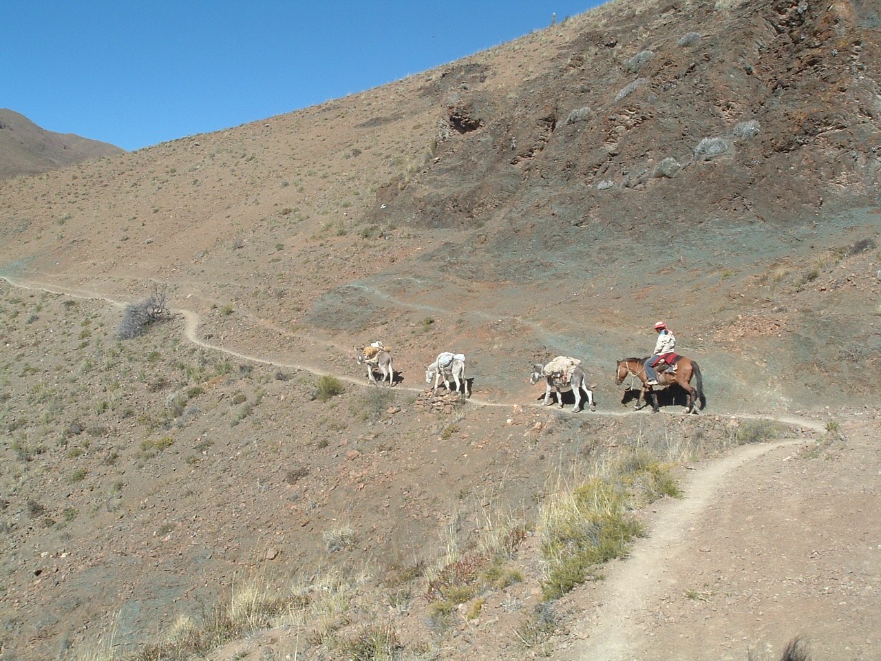

The name Qhapaq Ñan can create a misleading picture: one continuous, marked path ready to walk from end to end. It actually describes an extensive Andean network for communication, movement, and territorial organization. Its World Heritage recognition brings together components in six countries. For travelers in northwest Argentina, the first important distinction is between understanding that historic network and having permission and suitable conditions to walk a particular section.
The network and its maps
UNESCO describes roads and associated infrastructure connected with exchange, storage, accommodation, and ceremonial functions. The system also incorporated knowledge and routes that predated Inca rule. This suggests a connected territory with routes at different scales, rather than a single line running between capitals. World Heritage listing identifies representative components; it does not turn every historical connection into an open visitor circuit.
A heritage map and a navigation map perform different jobs. The first may illustrate relationships among sites separated by considerable distances. The second needs current access points, boundaries, terrain information, and assistance locations. Using a screenshot of an overview map to plan a walk removes exactly the information needed to judge whether an outing is appropriate. A visible line does not identify who manages passage or whether a maintained trail exists.
Choose a specific section
Before choosing a visit, identify the specific component and the institution or community providing information about it. Ask whether visitors are received, whether accompaniment is required, and which parts can be observed. A restriction may protect both people and the site. Do not search for an alternative entrance simply to reproduce an online image. Protecting the network includes accepting that some sections are encountered through interpretation rather than unrestricted walking.
Where access is authorized, notice adaptation to the terrain. A change in width, a stairway, or a nearby structure can prompt questions about techniques and uses when local interpretation identifies them. Not every stone path is automatically Inca, and neighboring buildings may belong to different periods. Appearance alone does not date a structure. Recording an explanation and its source is better than assigning an age from a photograph.
Inhabited territories
Communities living beside different sections are not scenery for this history. Roads may relate to current practices and memories as well as archaeological value. If an activity is offered as a community experience, establish who organizes it, what is included, and which photography or movement boundaries apply. Calling something ancestral does not make either land or knowledge available without limits.
A visit that reveals scale
For a short trip, one well-explained visit can be more useful than collecting several distant points. Combine a site with a museum or interpretation center that locates it within the network. Afterward, compare your ground-level observations with the overview map: which connections became clear, which distances surprised you, and which questions remain? This exercise gives the system scale without turning the experience into a checklist of stamps.
Qhapaq Ñan encourages a view of movement as history: people, goods, messages, and authority crossed very different environments. That idea can accompany the rest of a journey even when you are not walking on a listed section. A responsible visit begins with understanding what a place represents and continues by respecting how it is cared for today.